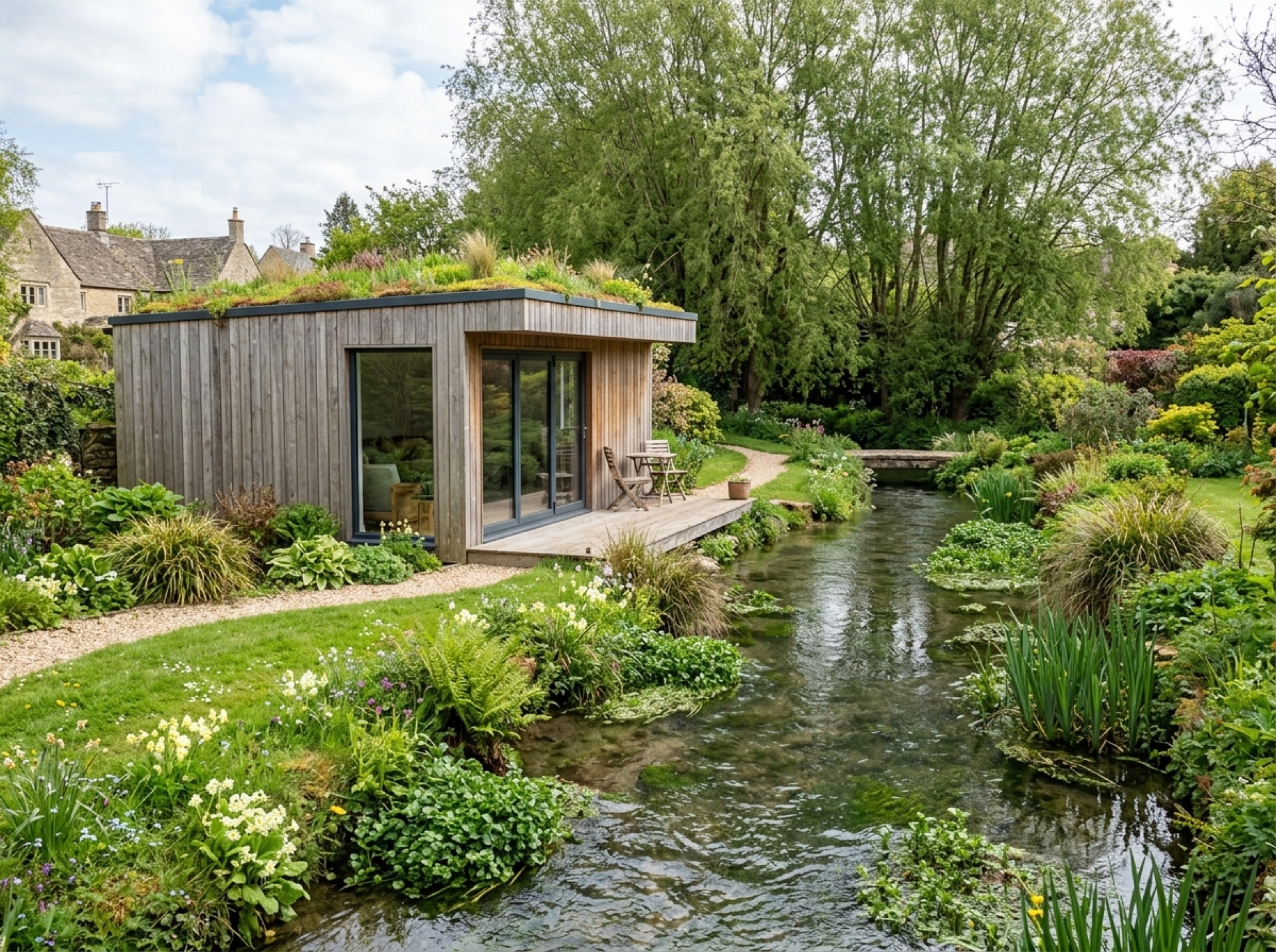
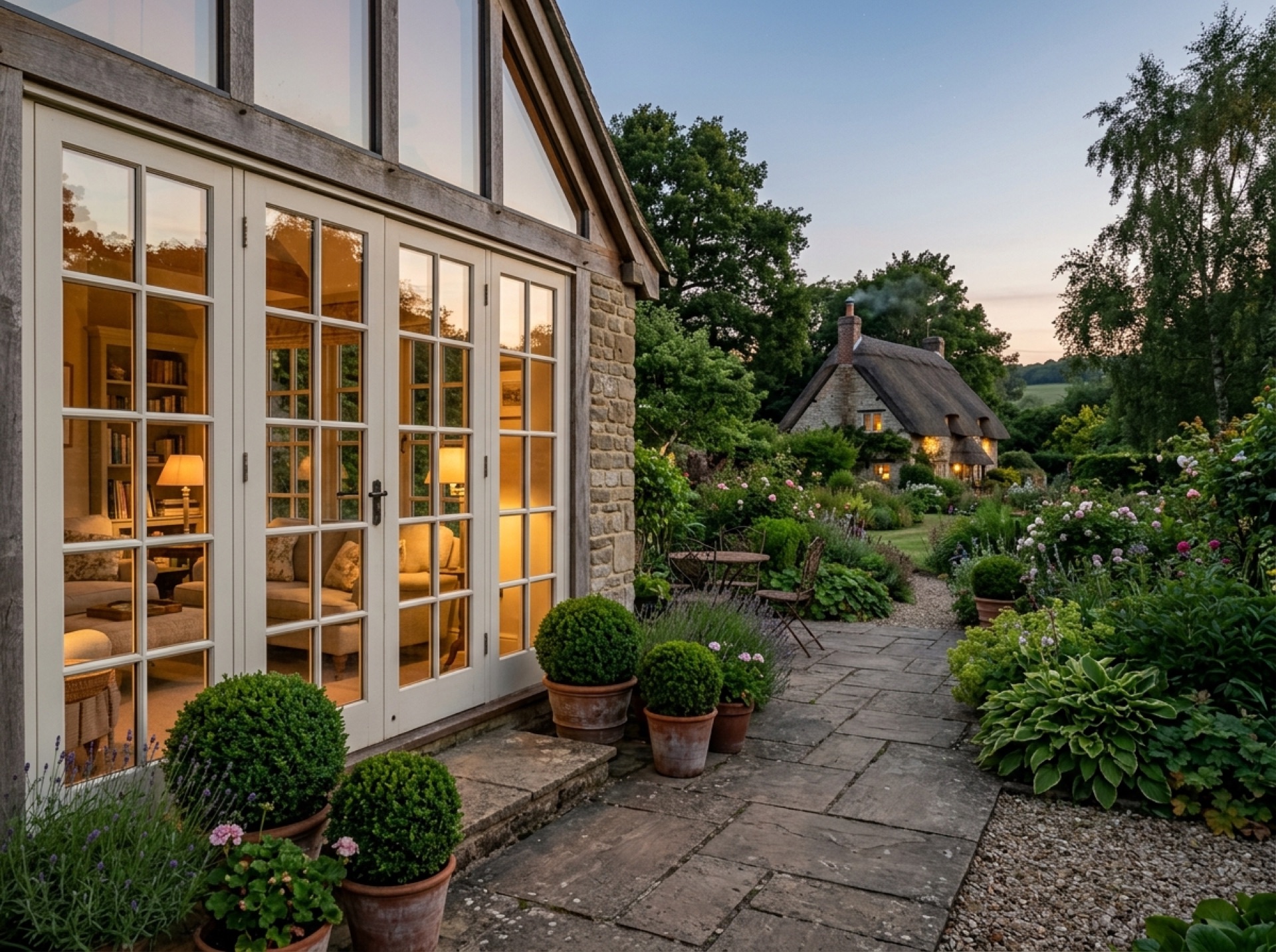
A cathedral city with a long history
Winchester Cathedral and the city's medieval street plan sit at the centre of a much larger urban area, with Victorian terraces and later suburbs spreading out around the historic core. That mix means plot sizes and access vary enormously from one street to the next.
Planning authority
Winchester City Council is, naturally, the planning authority for the city itself, as well as for New Alresford and most of the villages this site covers, so the same planning pages and permitted development guidance apply here as everywhere else nearby.
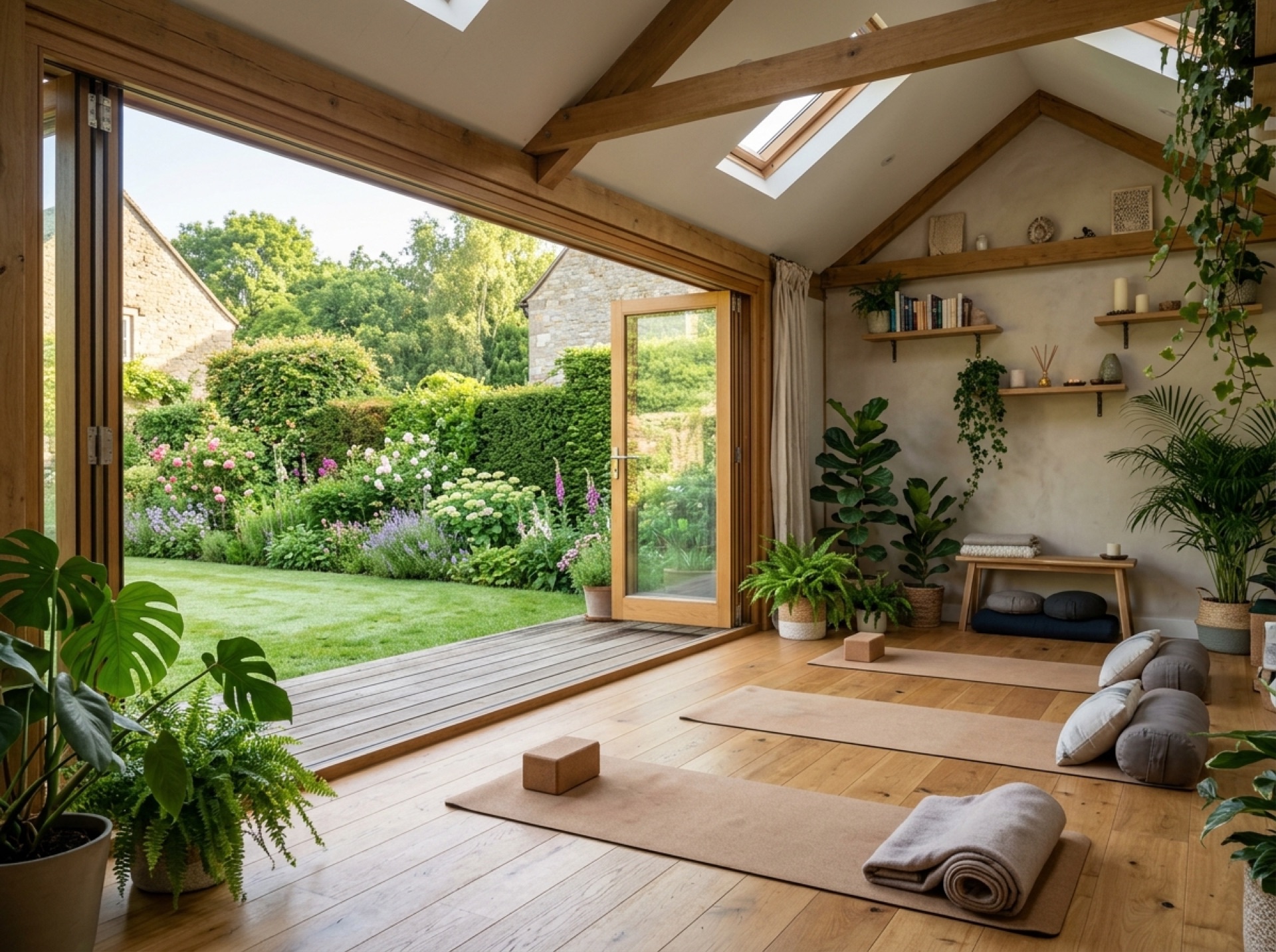
Conservation areas near the centre
Large parts of central Winchester fall within conservation areas around the cathedral and the old city walls, where permitted development rights for outbuildings are more restricted than in the newer suburbs further out. It's worth checking a specific address before assuming what's allowed.
Suburban gardens further out
Away from the historic centre, suburbs towards the M3 and the edge of the South Downs have more typical family-sized gardens, where standard permitted development rules are more likely to apply without extra restriction.
Frequently asked questions
Is all of Winchester covered by a conservation area?+
No. The conservation areas are concentrated around the cathedral and the old city walls; suburbs further out are generally subject to the standard permitted development rules rather than the tighter conservation area restrictions.
Which council handles planning in Winchester?+
Winchester City Council, the same authority that covers New Alresford and most of the surrounding villages.
Nearby areas
Services
Useful local links
- Winchester City Council — Planning — Planning authority for New Alresford and most of the surrounding villages, with guidance on whether a project needs planning permission.
- East Hampshire District Council — Permitted Development — Planning authority for Alton, Ropley, Medstead, Four Marks and the other East Hampshire villages this site covers.
- Basingstoke and Deane Borough Council — Planning — Planning authority for Brown Candover and the wider Candovers parish.
- Planning Portal — Outbuildings — National guidance on permitted development rules for garden rooms, sheds and other outbuildings.
- South Downs National Park Authority — Boundary checker and planning authority for any property within the South Downs National Park, relevant to villages towards the eastern and southern edge of this site's coverage.